
Related Products
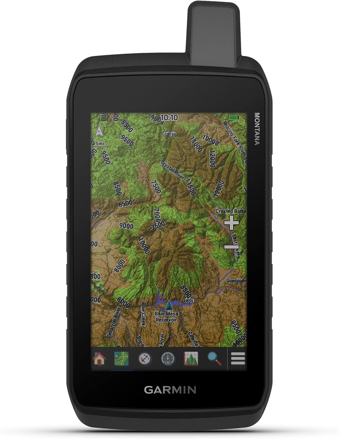
Garmin Montana® 710, Rugged GPS...

Trak-4 GPS Tracker for Vehicles,...


Trak-4 12v Hardwired GPS Tracker....
 | Portable Marine GPS with Free US Maps | Navionics Compatible Marine Chartplotter")
 | Portable Marine GPS with Free US Maps | Navionics Compatible Marine Chartplotter 3")
 | Portable Marine GPS with Free US Maps | Navionics Compatible Marine Chartplotter 4")
 | Portable Marine GPS with Free US Maps | Navionics Compatible Marine Chartplotter 5")
 | Portable Marine GPS with Free US Maps | Navionics Compatible Marine Chartplotter 6")
Upgrade Your Helm with the Dolphin 11″ Marine Tablet Chartplotter Navigate the open waters with confidence using the Dolphin 11-inch Marine GPS Chartplotter. Engineered to provide a professional-grade Boat GPS Navigation experience, this tablet delivers the advanced features of a traditional Multifunction Display (MFD) at a fraction of the cost. Whether you’re a coastal cruiser, a dedicated fisherman, or an offshore sailor, the Dolphin provides a flexible, high-resolution solution for your vessel. Ready for the Water, Out of the Box Forget complicated setups. This Marine Chartplotter comes pre-configured with OpenCPN software and Free US Maps already installed. It’s a true “plug-and-play” system designed for recreational boaters and yacht owners who want reliable tech without the headache. Reliable Offshore Navigation Safety is paramount when you’re off the grid. Because the charts are stored locally on the device, this Portable Marine GPS works 100% offline. You’ll have full access to your maps and routing data even in the middle of the ocean where internet and cellular signals disappear. Versatile & App-Friendly While it comes loaded with powerful free tools, the Dolphin is also Navionics Compatible, allowing you to run the industry’s most popular charts. Use it as your primary navigation hub or as a mission-critical backup to your fixed dash-mounted chartplotters. The advantages of a Tablet Chartplotter: Cost-Effectiveness and Affordability – only $299 USD. Portability & Convenience: The tablet is lightweight and can be moved anywhere on the boat, from the helm to the saloon or even taken home for off-vessel route planning. Seamless Connectivity: Tablets are designed to stay connected. They offer easier access to real-time weather updates, internet browsing, and streaming services (e.g., Netflix) when not being used for active navigation. Included features: OpenCPN chart plotter installed and configured Free marine charts and maps (see a list of charts below) GPS navigation capability Route planning tools Chart management tools Offline navigation capability Additional useful marine apps are pre-installed and ready to use: Windy MarineTraffic Navily Knots 3D Rope Splicing Pre-Installed free marine charts and maps: USA NOAA U.S. coasts Puerto Rico US Virgin Islands The Hawaiian Island chain as far as Midway American Samoa Guam and the Northern Marianas Islands East Asia South China Sea region South America Argentina Peru Tablet Attributes: Screen Size: 10.95 inches Screen Resolution: 2K 2000X1200 Battery: Long-lasting battery 8000mAh Memory: 4GB + 128GB Expand up to 1TB with an external microSD Weight: 462g
Professional Marine GPS Chartplotter at an Unbeatable Value: This pre-configured tablet offers a high-performance Boat GPS Navigation system at a fraction of the cost of traditional hardware. At just $299 USD, it delivers the power of a Multifunction Display (MFD) without the premium price tag.
A tablet that was engineered for the helm: anti-glare finish that eliminates reflections and hits 500 nits of peak brightness for crystal-clear navigation in direct sun. The massive 8000mAh battery provides up to 13 hours of use.
Ready for Immediate Marine Chartplotter Use: Start navigating right out of the box with pre-installed OpenCPN software and Free US Maps. It provides a reliable and flexible solution for cruising, fishing, or offshore sailing with zero setup required.
Offline Offshore Reliability: As charts are locally installed, this Portable Marine GPS works completely offline. It is the ideal choice for offshore navigation and deep-sea expeditions where internet access is unavailable.
Versatile, Navionics Compatible & Built for Every Vessel: Use it as your primary system or a high-end backup. This open platform is Navionics compatible and designed to suit everyone from recreational boaters and yacht owners to professional expedition vessels.
$299.00