
Related Products

Tractor GPS Guidance System 4inch(10cm)...






Product description


1 Non-Contact Laser Survey
2 Small Size, Big Power
3 Full GNSS Support
4 More Possible Scenarios
5 60° Tilt Surveying


1 FULL-CONSTELLATION
2 60° TILT SURVEY
3 15KM ENHANCED UHF
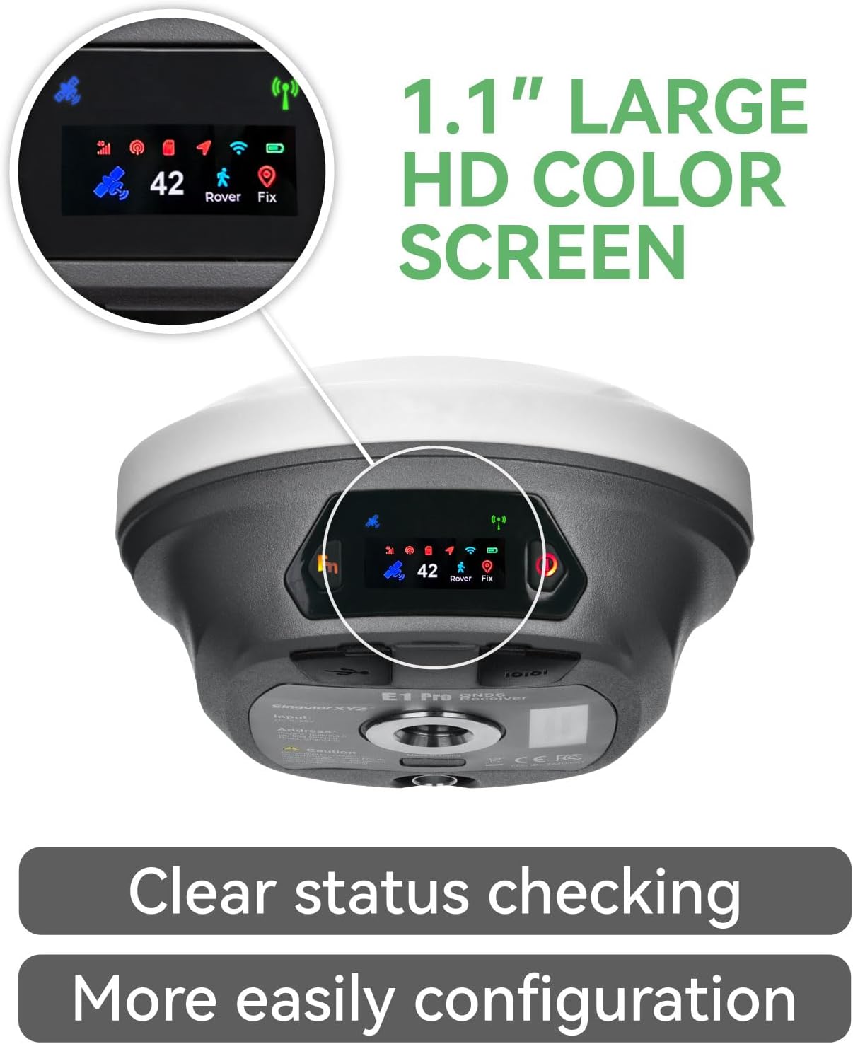
4 LARGE HD COLOR SCREEN
5 IP68 DURABLE DESIGN
Smarter Surveying, Faster Fieldwork

SC300 – Rugged Field Data Collector

Work Modes – Flexible Field Operations


Crystal-Clear Touchscreen: The E1 Pro gnss rtk has ultra-bright, high-res display cuts through glare. Check real-time data, tweak settings, or review survey stats under full sun-no squinting required
Laser + GNSS Hybrid Survey: Integrated laser and full-constellation GNSS tracking enable precise measurement of inaccessible points up to 10m away, while advanced anti-interference technology ensures fast, reliable FIX solutions and centimeter-level accuracy in challenging environments such as urban canyons and dense forests
Advanced Handheld Collector SC300: Android 12 rugged handheld with 8-core CPU, 4GB RAM, 8GB storage, 6 inch HD display and full QWERTY keyboard for fast field data entry. Supports 4G/Wi-Fi/Bluetooth with 7700 mAh battery for 16+ hours use. IP67-rated for harsh outdoor environments
Dual-Mode IMU Tilt L1 Rover: When used as a rover, the L1’s high-grade IMU supports 60 tilt in two modes: pole surveying for angled stakeout and laser surveying for non-contact measurements. Auto-calibration ensures up to 2 cm accuracy even at maximum tilt, speeding up surveys in complex or hard-to-reach areas
10-15km Long-Range Super Radio: The E1 Pro and L1 Laser feature a built-in high-performance Super Radio, compatible with both LORA and standard UHF protocols. Designed for network-free operation, they provide reliable rover-base communication with a range of up to 10-15km, suitable for surveying in remote areas without cellular coverage
AR Stakeout Technology: Using the handheld collector’s camera together with SingularPad, AR stakeout overlays virtual point guidance directly on the screen, enabling faster and more intuitive field layout
High Precision GNSS Technology: SingularXYZ focuses on high precision GNSS PNT (Positioning, Navigation & Timing) technology, extending its coverage to geospatial information, precision agriculture, machine control, robotics, telecom, and IoT, providing reliable, stable and professional products and service
FCC License Requirement: U.S. users must apply for an FCC radio license for commercial use (e.g., surveying, construction) with the UHF function (450-470 MHz). The rtk gps equipment does not include the pole
$3,499.00