
Related Products

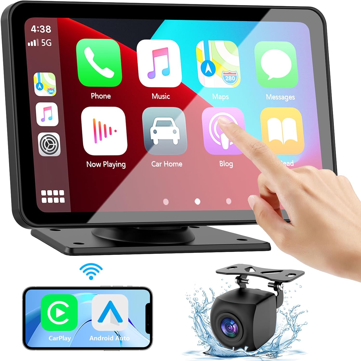
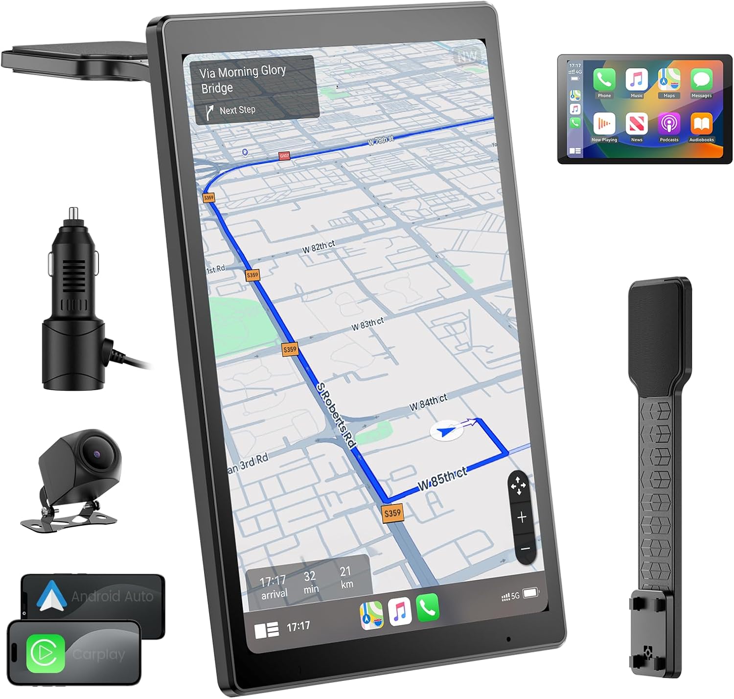
GPS Navigator for Car, Small Size...




From the brand


SingularXYZ L1 Series RTK
SingularXYZ E1 Series RTK
New RTK Kit
L1 Series VISUAL& LASER RTK
E1 Pro & New Accessories
E1 RTK Rover & Base
E1 Lite RTK Rover & Base
Sfaira One series &Theodolite
Top RTK Accessories
Top RTK Accessories
Top RTK Accessories

SingularXYZ delivers high-precision GNSS PNT technology for geospatial surveying, precision agriculture, machine control, robotics, and IoT. Operating in 120+ countries, it holds 40+ patents, ISO certification, and is China’s National High-Tech, SRDI, and Innovative SME. With a 1,000m² R&D facility, it advances precise positioning and intelligent tech for global industries.
【Wide Applications】Sfaira ONE Plus gnss rtk can be used in land surveying, GIS, mine surveying, topographic survey, cadastral survey, road stakeout, robotics, etc.
【Why Choose Sfaira ONE Plus?】RTK GPS Up to 60° tilt surveying, pocket-size portability, and a 16-hour battery. Sfaira ONE Plus tracks GPS, BDS, GLONASS, Galileo, and QZSS for a professional and efficient surveying experience.
【How to use?】 ① Connect the Sfaira ONE Plus RTK GNSS with your phone via Bluetooth. ② Login to your CORS account (RTK corrections service) in the software or connect to your RTK base station of internal GSM mode and get fixed RTK solution. ③ Initialize the tilt IMU function – shake the pole for 5 seconds. ④ Start working: the software supports Point Survey, Detail Survey, CAD Mapping, CAD stakeout, Road Stakeout, Surface Stakeout, Layer Editting and wide calculation functions.
【Easy to get started】Tutorial videos, detailed manual and online one-to-one technical support can definitely help every user to get started with Sfaira ONE Plus easily without concerns.
【Network RTK】The Sfaira ONE/Sfaira ONE Plus GPS survey equipment is only a network RTK rover which needs to be connected with reference station (CORS/VRS) via internet(3/4G).
【Notes】Surveying software already installed in Handheld and Permanently valid.The Sfaira ONE PLus is compatible with regular 5/8″ thread range poles.
【Support】 Please refer to the manual included in the package, email us for technical support, or visit the SingularXYZ website to get in touch. We also offer video conference guidance to assist you.
【SC260 Rover Kit with Sfaira + Controller】Includes SC260 Data Collector (Android 11, 5.45-inch sunlight-readable screen, 8-core CPU, 64GB storage, 18H battery) and system size 34 × 16 × 31 cm (13.39 × 6.30 × 12.20 in), weight 3 kg (6.61 lb), designed for lightweight and portable GNSS field surveying.
$1,450.00